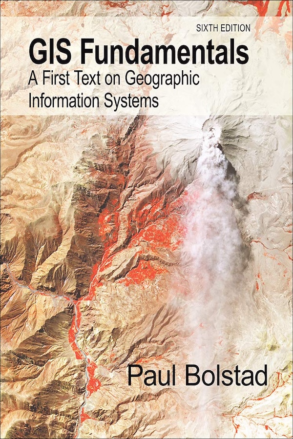
01 / Classic Textbook Recommendation
Classic Textbook Recommendation
Citation
Bolstad, P. (2024). GIS Fundamentals: A First Text on Geographic Information Systems (7th ed.). Eider Press.
Knowledge and Historical Context
Geographic Information Systems emerged in the 1960s from the convergence of cartography, computer science, and spatial analysis. The field developed through pioneering work in Canada and the United States, with early systems like the Canada Geographic Information System establishing foundational concepts for digital spatial data management.
This textbook represents the evolution of GIS education from specialized technical training to mainstream geographic education. It reflects the field's maturation from experimental technology to essential tools for spatial analysis, environmental management, and decision-making across multiple disciplines.
Educational Philosophy
The textbook emphasizes that GIS is fundamentally about geographic problem-solving rather than just software operation. It teaches students to think spatially about data, understand the theoretical foundations of spatial analysis, and apply GIS technology to real-world geographic problems and research questions.
Core Concepts
Introduction to GIS and Spatial Data
Fundamental concepts of GIS, spatial data types, coordinate systems, and the role of GIS in geographic analysis and decision-making.
Spatial Data Models
Vector and raster data models, topology, spatial relationships, and data structures for representing geographic phenomena.
Coordinate Systems and Projections
Datum, coordinate systems, map projections, and coordinate transformations essential for spatial data integration and analysis.
Data Input and Editing
Methods for data capture including digitizing, GPS, remote sensing, and field data collection, along with data quality and error management.
Attribute Data and Tables
Database concepts, attribute data management, joins and relates, and integration of spatial and non-spatial data.
Basic Spatial Analysis
Spatial queries, buffering, overlay analysis, network analysis, and fundamental spatial analysis operations.
Advanced Spatial Analysis
Interpolation, surface analysis, spatial statistics, modeling, and advanced analytical techniques for geographic research.
Cartographic Design and Visualization
Map design principles, symbolization, classification, layout, and effective communication of spatial information.
Significance and Impact
This textbook has been instrumental in establishing GIS education standards and making spatial analysis accessible to undergraduate students. Its comprehensive approach has influenced how GIS is taught across geography, environmental science, planning, and other spatially-oriented disciplines.
The book's emphasis on fundamental concepts rather than specific software has helped students develop transferable skills applicable across different GIS platforms and technological developments in the field.
Conclusion
GIS Fundamentals provides essential knowledge for understanding and applying geographic information systems in research and professional practice. Its balanced treatment of theory and application prepares students for advanced GIS work and careers requiring spatial analysis skills.
The textbook's comprehensive coverage of GIS concepts, combined with practical examples and exercises, makes it invaluable for students pursuing careers in environmental management, urban planning, natural resource management, and geographic research.